Summer rarely follows a single script. One community may be preparing for higher water demand during extended heat, while another is managing intense rainfall and localized flooding. For the professionals responsible for planning, operating, and maintaining water infrastructure, these changing conditions reinforce an important reality: resilience is built through adaptability.
This week’s stories illustrate how water systems continue to respond to shifting environmental conditions. From California’s transition into summer operations for the State Water Project to flood preparedness efforts across Texas, each story highlights the importance of planning for variability rather than expecting consistency. Together, they remind us that effective water management is not simply about responding to today’s weather it’s about preparing systems that can perform under whatever conditions tomorrow may bring.

State Water Project Shifts Into Summer Operations to Support California’s Water Supply and Environment
Author: California Department of Water Resources
Published: July 2, 2026
As California enters the peak of the summer season, the State Water Project has transitioned into its annual summer operating schedule, balancing water deliveries for millions of residents while protecting sensitive fish species throughout the Sacramento, San Joaquin Delta. Operational changes reflect seasonal environmental conditions and evolving regulatory requirements, demonstrating that water management extends far beyond moving water from one location to another. It requires continuous coordination between environmental stewardship, infrastructure operations, and reliable water delivery. The annual transition serves as a reminder that resilient infrastructure depends not only on physical assets but also on adaptive management informed by science and long-term planning.
Source: California Department of Water Resources — State Water Project Shifts Into Summer Operations to Support California’s Water Supply and Environment
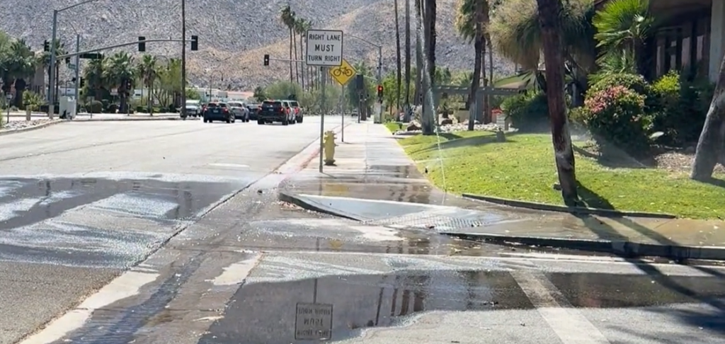
Houston Faces Elevated Flood Risk as Summer Storms Replace Typical July Heat
Author: Houston Chronicle Staff
Published: July 13, 2026
Instead of the prolonged heat often associated with mid-July, much of Southeast Texas is experiencing repeated rounds of heavy rainfall that have increased the potential for localized flooding. Slow-moving storms are placing additional pressure on drainage systems, stormwater infrastructure, and emergency response operations throughout the region. While rainfall provides temporary relief from extreme temperatures, it also illustrates the importance of maintaining infrastructure capable of managing rapidly changing weather conditions. Communities benefit most when drainage systems, flood control facilities, and emergency planning work together to reduce risk during periods of intense precipitation.
Source: Houston Chronicle — Houston’s Flood Threat Grows as Daily Storms Replace Typical July Heat
Texas Activates Emergency Resources as Flood Threat Increases Across the State
Author: Houston Chronicle Staff
Published: July 13, 2026
As multiple rounds of heavy rain move across portions of Texas, state agencies have activated emergency resources to support communities facing elevated flood risks. Preparations include coordination among emergency management teams, transportation agencies, and public safety organizations to respond to potential flooding and protect critical infrastructure. While emergency response often receives the most public attention, these events also highlight the importance of long-term investments in flood mitigation, drainage improvements, and resilient infrastructure that help communities prepare before severe weather arrives. The ability to respond effectively begins long before the first storm develops.
Source: Houston Chronicle — Abbott Activates Texas Emergency Resources as Storms Raise Flood Threat
Looking at the Bigger Picture
Although these stories unfold under very different conditions, they point toward a common lesson: successful water management depends on flexibility. California’s water operators are adjusting system operations to meet seasonal environmental needs, while Texas communities are preparing infrastructure for periods of intense rainfall and localized flooding. Neither situation represents an isolated challenge. Instead, they illustrate how modern water systems must continually adapt to changing weather patterns, environmental regulations, and community needs.
At Watearth, we often find that the most valuable insights come from observing these connections. Whether responding to heat, managing stormwater, or balancing environmental priorities, resilient infrastructure is built through thoughtful planning, coordinated operations, and an understanding that water systems function as part of a much larger environmental network.
Learn more about Watearth at https://watearth.com.