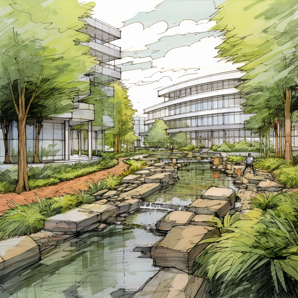
Watearth is leading the Mills Tower Drainage Feasibility Study for the City of Rancho Cordova The study addresses persistent flooding across a 152-acre drainage area with constrained pump station capacity.
Over the course of the project, Watearth has reviewed the City’s Master Plan, FEMA documentation, topographic and soils data, and hydrologic and hydraulic models. Initial site visits and a kickoff meeting helped validate desktop findings and identify opportunities for flood mitigation, including detention basins at White Rock Elementary School and Community Park, as well as distributed low impact development (LID) features.
Stormwater drain at western boundary of White Rock Elementary School playfield – Looking Northwest toward parking lotMills Tower Pump Station – Facing Northbound
Simulations for 10-year and 100-year storm events informed the performance evaluation of alternatives. The team has produced 10% concept layouts that integrate flood control, water quality, and recreational benefits, along with preliminary cost estimates and a comparative cost-benefit analysis. Deliverables include a detailed technical memorandum and ongoing virtual coordination with City staff.
At Watearth, one of the most critical decisions we make is selecting the right modeling approach for each project. Choosing the wrong model can lead to cost overruns, false confidence in designs, or missed flood risks that put communities in danger. The key is matching model complexity to the problem at hand.
When to Use 1D Modeling. One-dimensional models analyze flow along a single axis and are ideal for well-defined channels, culvert and bridge hydraulics, stream capacity analysis, and preliminary floodplain assessments. They’re efficient and can evaluate long reaches of river systems quickly, making them perfect for projects where cross-sectional data is sufficient. However, 1D models have limitations—they cannot capture lateral flow spreading or complex flow patterns that occur in wide floodplains or areas with multiple flow paths.
When 2D Modeling Makes Sense. When 1D assumptions break down, two-dimensional modeling becomes essential. We use 2D models for complex floodplain analysis with multiple flow paths, coastal and estuarine systems, dam breach scenarios, and urban flooding where streets become channels. While 1D shows you water elevation, 2D reveals where water actually goes and how fast it moves. This additional detail requires more extensive terrain data and greater computational resources, but for complex flow scenarios, the investment is necessary to capture the true hydraulic behavior.
The Role of Unsteady Flow Analysis. Unsteady flow modeling adds the time dimension to either 1D or 2D models, tracking how conditions evolve rather than assuming equilibrium. This approach is critical for flood routing and reservoir operations, storm surge prediction, dam failure studies, and any scenario where timing drives risk. We recently modeled Harris Reservoir where steady-state analysis showed adequate capacity, but unsteady modeling revealed conditions that could overwhelm outlet structures—an insight that drove critical design changes.
Hybrid Modeling in Action: Rubio Wash. Watearth supported the Rubio Wash subwatershed drainage study by delivering advanced hydrology and 1D/2D hydraulic modeling for one of Los Angeles’s most critical flood control corridors. The project combined detailed GIS-based storm drain inventories with MODRAT hydrology and XPSWMM modeling to identify system deficiencies under 10-, 25-, and 50-year storm events and guide future flood mitigation efforts.
Our Approach. We start by asking: What decisions will this analysis inform? What accuracy do stakeholders need? Sometimes the answer is hybrid—1D for an entire watershed with 2D focus on critical areas. There’s no universal “best” modeling approach. Our role is matching sophistication to project needs, delivering the insights you need for confident decisions without unnecessary complexity or cost.
Have a water resources challenge? Contact our team to learn how we solve complex water problems with the right engineering approach.
Efficient water distribution is critical for ensuring reliable water supply and regulatory compliance. Advanced hydraulic and water quality modeling helps utilities and municipalities manage system performance, identify deficiencies, and comply with regulations. Watearth specializes in water distribution modeling across California, Arizona, Texas, and nationwide, providing tailored solutions for varying infrastructure needs.
Hydraulic Modeling: Ensuring System Efficiency
Water distribution networks must be designed and maintained to handle various demand scenarios. Our hydraulic modeling services analyze key performance metrics such as:
Pressure Management – Assessing pressure fluctuations during average day, peak hour, and fire flow conditions in major metro areas such as Los Angeles, and Houston.
Flow Velocities & Rate Adjustments – Ensuring optimal movement of water throughout the system to minimize inefficiencies.
System Calibration – Fine-tuning hydraulic models to match real-world conditions, using historical and real-time data for accuracy.
Water Quality Modeling: Compliance & Public Health Protection
Water quality is a top priority for utilities, particularly in urban regions. Our modeling capabilities include:
Disinfection Byproducts (DBPs) Analysis – Monitoring and predicting DBP formation to ensure compliance with EPA standards.
Water Age Tracking – Evaluating how long water remains in the system, which impacts residual chlorine levels and overall water quality.
Source Water Management – Optimizing blending strategies for surface and groundwater sources to balance quality and cost.
Regional & Nationwide Expertise
Watearth provides comprehensive modeling services across California, Arizona, and Texas. Our nationwide reach allows us to adapt to diverse regulatory frameworks, environmental conditions, climates, and urban infrastructure challenges.
Why Choose Watearth?
Over 17 Years of Expertise in hydraulic and water quality modeling.
Regulatory Compliance support for EPA, state, and local standards.
Advanced Modeling Tools using GIS, EPANET, and other industry-leading software.
Custom Solutions for municipalities, water districts, and private clients.
Small business accessibility
Get Started with Watearth
If you need expert water distribution system modeling in California, Texas, or anywhere in the U.S., contact us today. Our team is ready to help you optimize your system for efficiency, resilience, and compliance.
📞 Call us at 877.302.2084 🌐 Visit us at watearth.com
Stormwater runoff from roads and parking lots is more than just water — it’s a vehicle for hydrocarbons and other pollutants from gas-powered cars that end up in our rivers, lakes, and oceans.
That’s where bioretention comes in.
As a leading stormwater best management practice (BMP), bioretention systems naturally filter pollutants through engineered soils and vegetation. These systems not only help manage runoff but also improve water quality, recharge groundwater, and enhance green spaces.
At Watearth, we specialize in sustainable stormwater design solutions that protect the environment while meeting the technical and regulatory needs of every project. From hydrology modeling to stormwater treatment and green infrastructure, our niche expertise helps clients make a real impact.
🌱 Want your next project to do more for the planet?
This Innovation credit category offers an opportunity to earn additional points by implementing innovative strategies and sustainable practices that go beyond the standard requirements. Here’s what you should know before starting your project:
Innovative strategies: The Innovation credit category encourages the implementation of unique and inventive sustainability strategies. It allows you to propose new ideas, technologies, or approaches that contribute to environmental, social, or economic benefits. Identify areas where you can push the boundaries and propose innovative solutions to address sustainability challenges within your project.
Pilot credits: The Innovation credit category often includes pilot credits, which are optional credits that address emerging green building practices. These credits are experimental and offer an opportunity to explore new concepts and approaches that are not yet part of the standard LEED rating system. Consider incorporating pilot credits into your project to demonstrate cutting-edge sustainability initiatives.
Performance-based design: The Innovation credit category emphasizes performance-based design and evaluation. This approach focuses on achieving specific, measurable goals and demonstrating the actual performance of the building or project. By implementing advanced modeling techniques, simulation tools, or performance monitoring systems, you can optimize building performance and showcase innovative design strategies.
Exemplary performance: The Innovation credit category recognizes projects that achieve exemplary performance in specific credit requirements. Exemplary performance signifies going above and beyond the baseline requirements and achieving significantly higher levels of performance or innovation. Identify areas where you can exceed the standard expectations and strive for exemplary performance.
Collaborative partnerships: Collaboration and partnerships play a vital role in the Innovation credit category. Engage with stakeholders, experts, and professionals in the sustainability field to explore innovative ideas and gain valuable insights. Collaborative efforts can lead to breakthrough solutions and foster a culture of innovation within your project.
Documentation and reporting: Proper documentation is essential for achieving the Innovation credit category. Clearly articulate the innovative strategies, technologies, or approaches implemented in your project. Provide detailed documentation, case studies, research findings, or performance data to support the innovative aspects of your project. Thorough documentation strengthens your case for earning innovation credits.
Continuous improvement: Embrace a mindset of continuous improvement throughout your project. Seek feedback, monitor performance, and evaluate the effectiveness of the implemented innovative strategies. Learn from the experience and incorporate lessons learned into future projects to further advance sustainability practices.
Considering the Innovation credit category from the outset of your project allows you to explore new horizons and push the boundaries of sustainability. By incorporating innovative strategies, exploring pilot credits, emphasizing performance-based design, aiming for exemplary performance, fostering collaboration, documenting your efforts, and embracing a culture of continuous improvement, you can demonstrate your project’s commitment to sustainability innovation.
Today, water is scarce, salty, contaminated, polluted, torrential, rising, and perilous.
As a water-minded practice, Watearth looks to a broad scope of techniques to resolve water-related challenges. Plants are an integral element to the nature-based solutions proposed throughout much of our work. The following highlights instances where plants are instrumental to challenges of water supply, water quality, food supply, and natural disasters. Water Supply Plants are an integrated part of hydrology and can be a component of water supply conservation. The use of native, drought tolerant plants integrate the benefits of plants without a huge demand on a scarce water supply. Additionally, plants better facilitate infiltration and groundwater recharge as their roots create infiltration channels within the soil called macropores. Water Quality Plants can have a positive impact on groundwater and downstream water quality. Plants reduce erosion, a major contributor to water quality pollution. Not only do plants hold soil in place with their roots, but also slow down the speed of rainfall, as foliage and branches intercept rainfall, reducing erosion. The construction of upstream vegetated wetlands and other vegetated bestmanagement practices, such as filter strips and bioretention features, protect downstream waterbodies from sediment and nutrient pollution. According to the EPA, phytoremediation, the practice of using plants to reduce contamination, has been an economical and feasible solution to contain and degrade contaminants affecting soils and groundwater at Superfund sites. Food Supply With increasing agricultural issues relating to water, plants provide solutions to production of food. In response to excessive flooding impacting rice production in Southeast Asia, scuba rice was hybridized as a flood-tolerant rice crop. In California, many tree crops are grafted onto drought and salt-tolerant rootstocks as today’s farmers face drought and saltwater intrusion into available groundwater. Natural Disasters Native plants have evolved to withstand and regenerate form natural disasters. Native plants, in some instances, can even mitigate impacts. For example, mangroves, tropical trees that grow along the water’s edge, reduce wave energy, and protect coastline from flooding and erosion damage. Mangrove forest regeneration is being coordinated around the world as coastlines become more threatened by rising sea level and increasingly severe storm events and hurricanes.
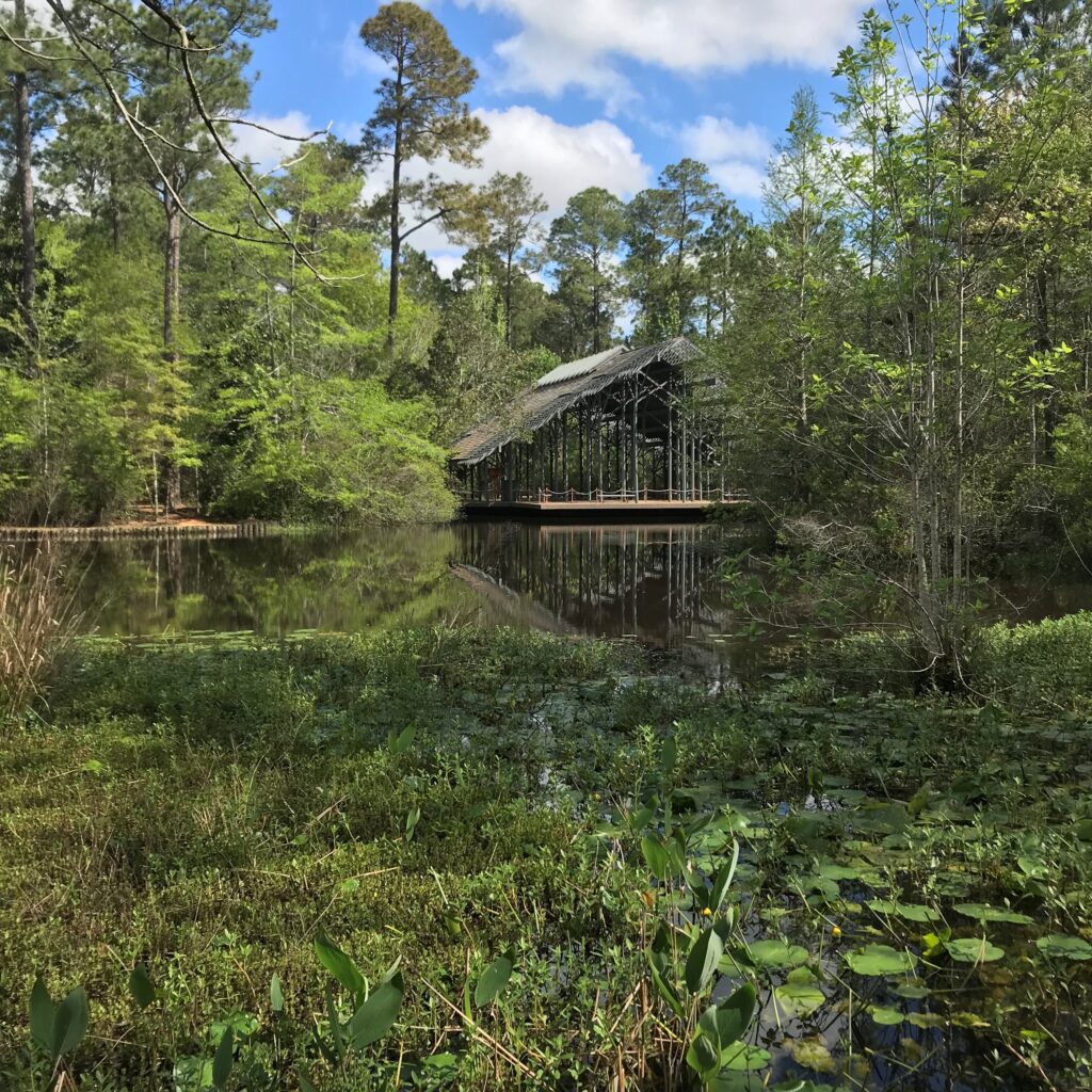
Constructed wetland habitat at the Crosby Arboretum, Picayune, MS
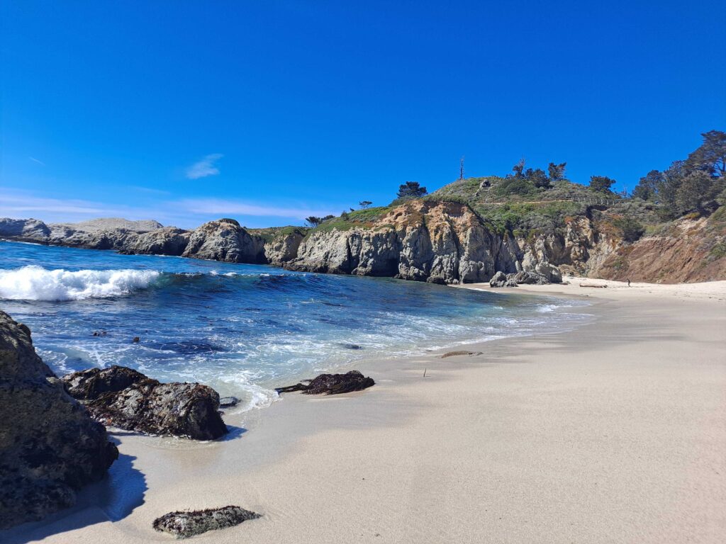
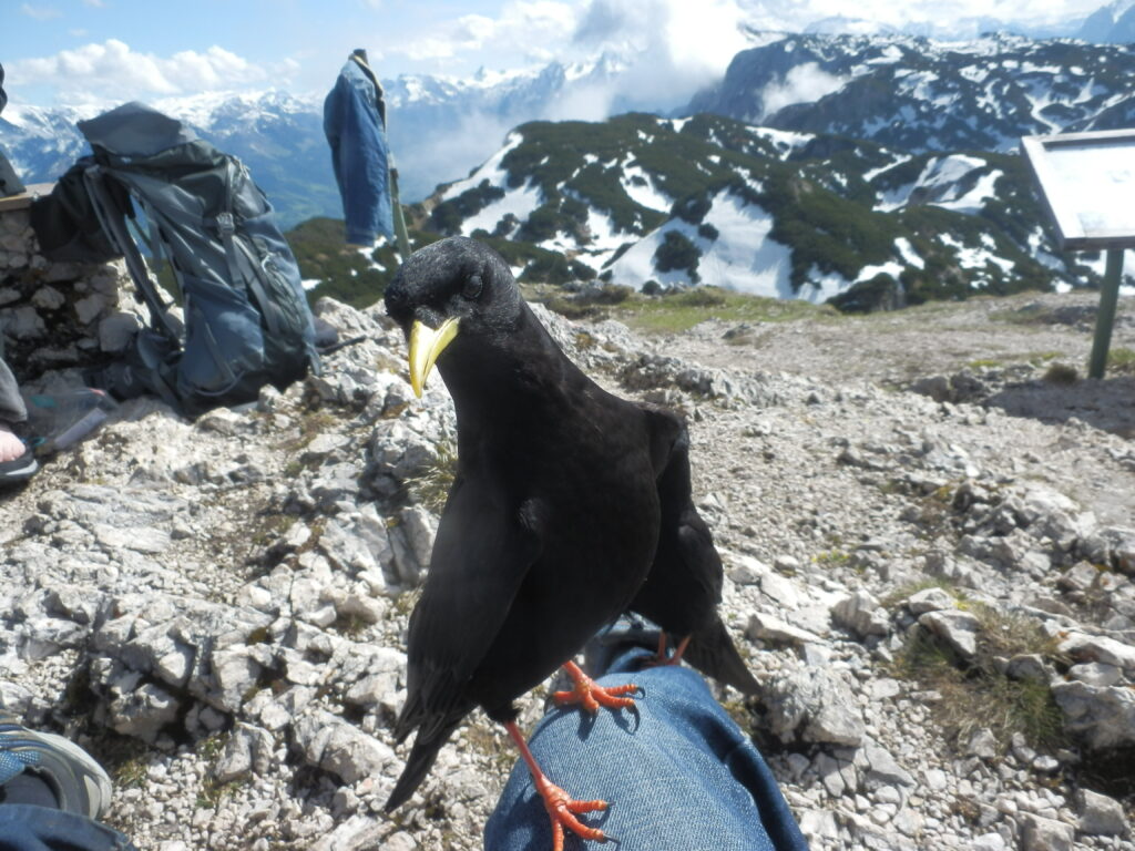
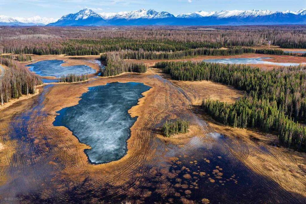
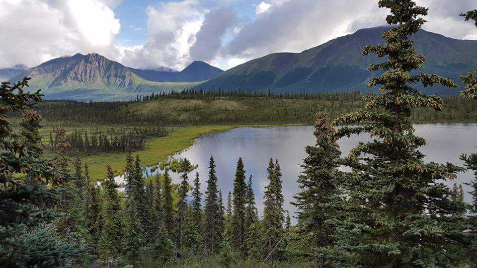
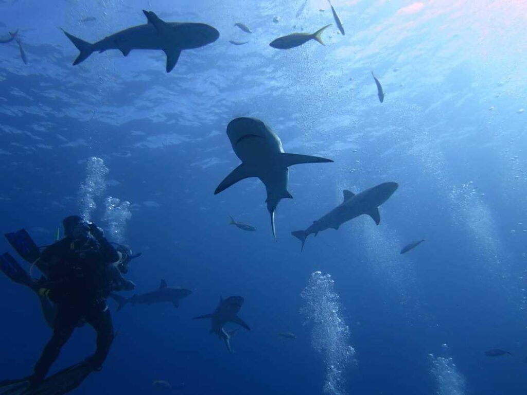
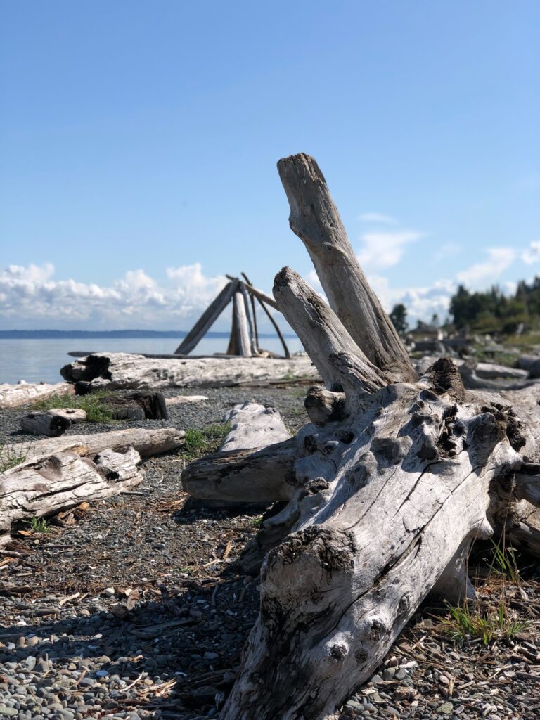
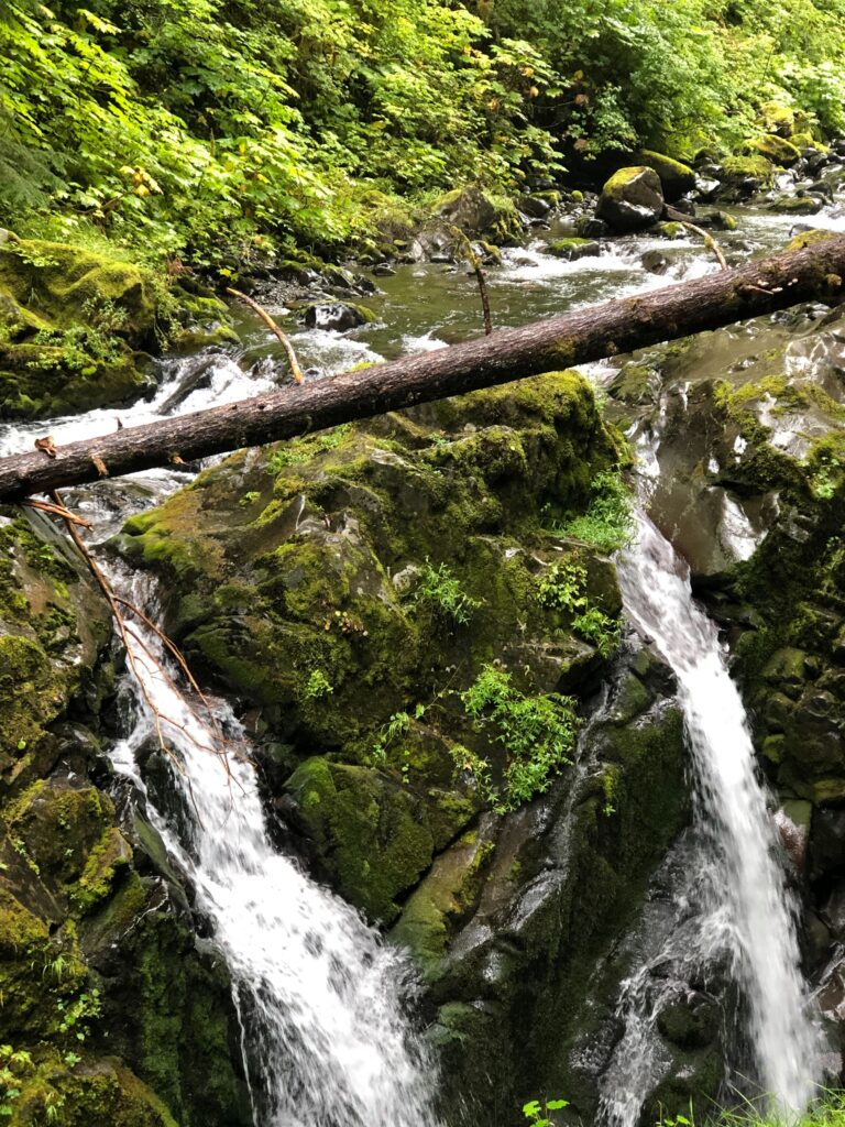
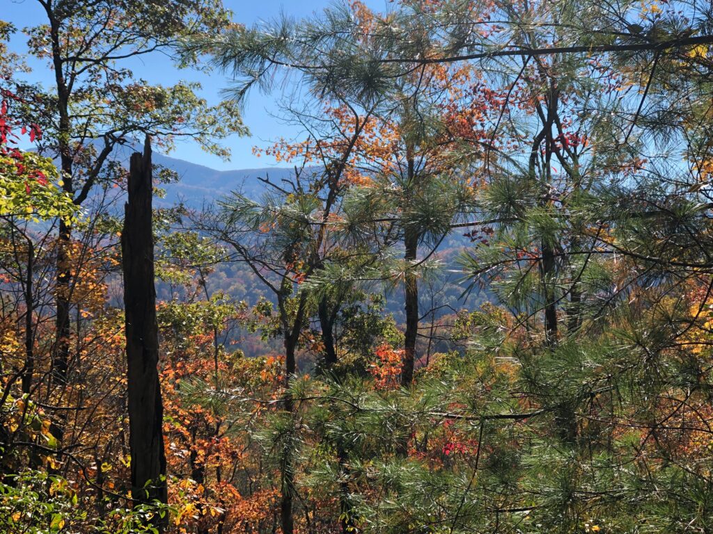
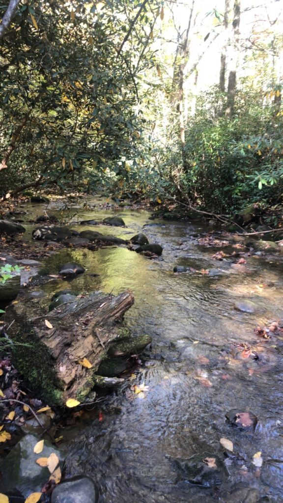
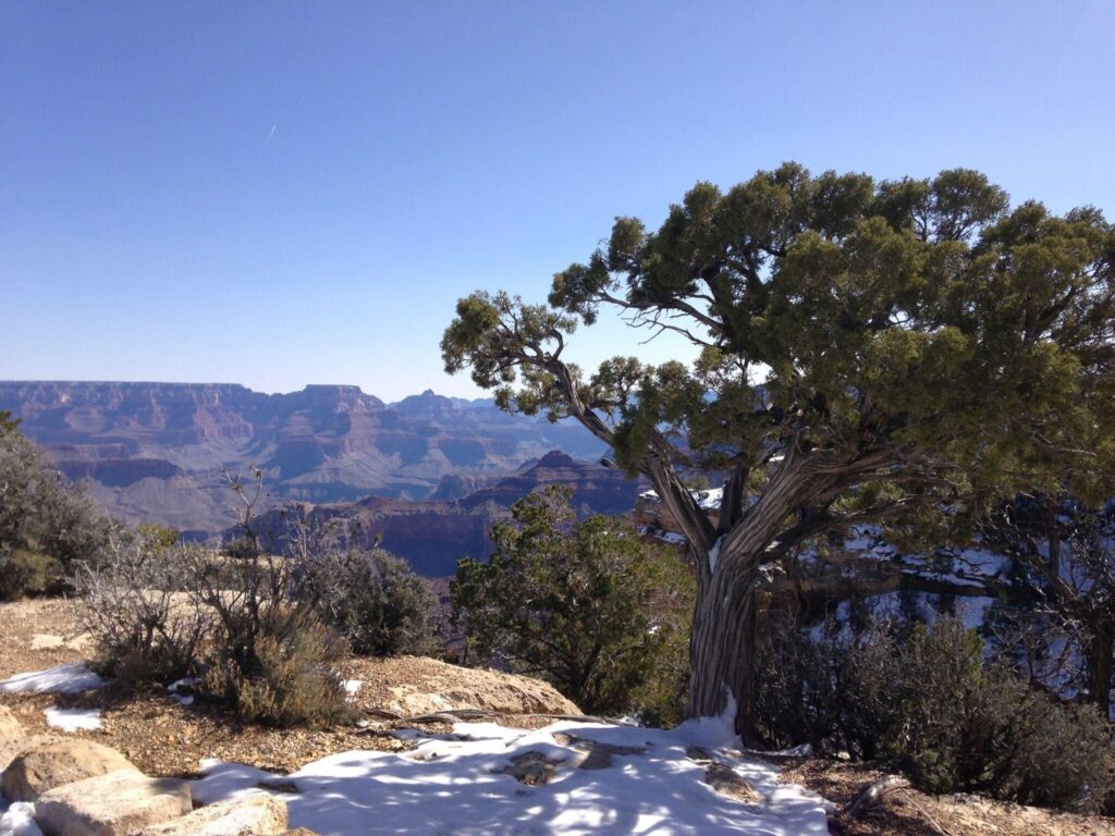
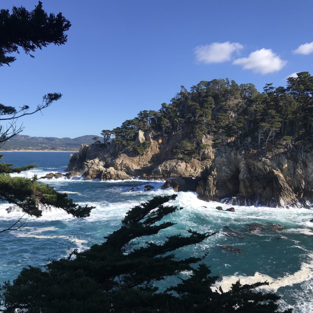
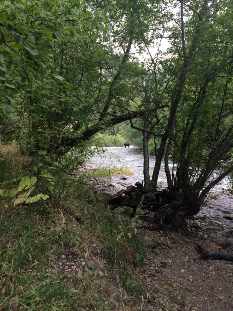
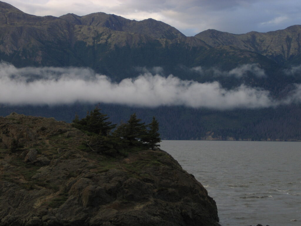
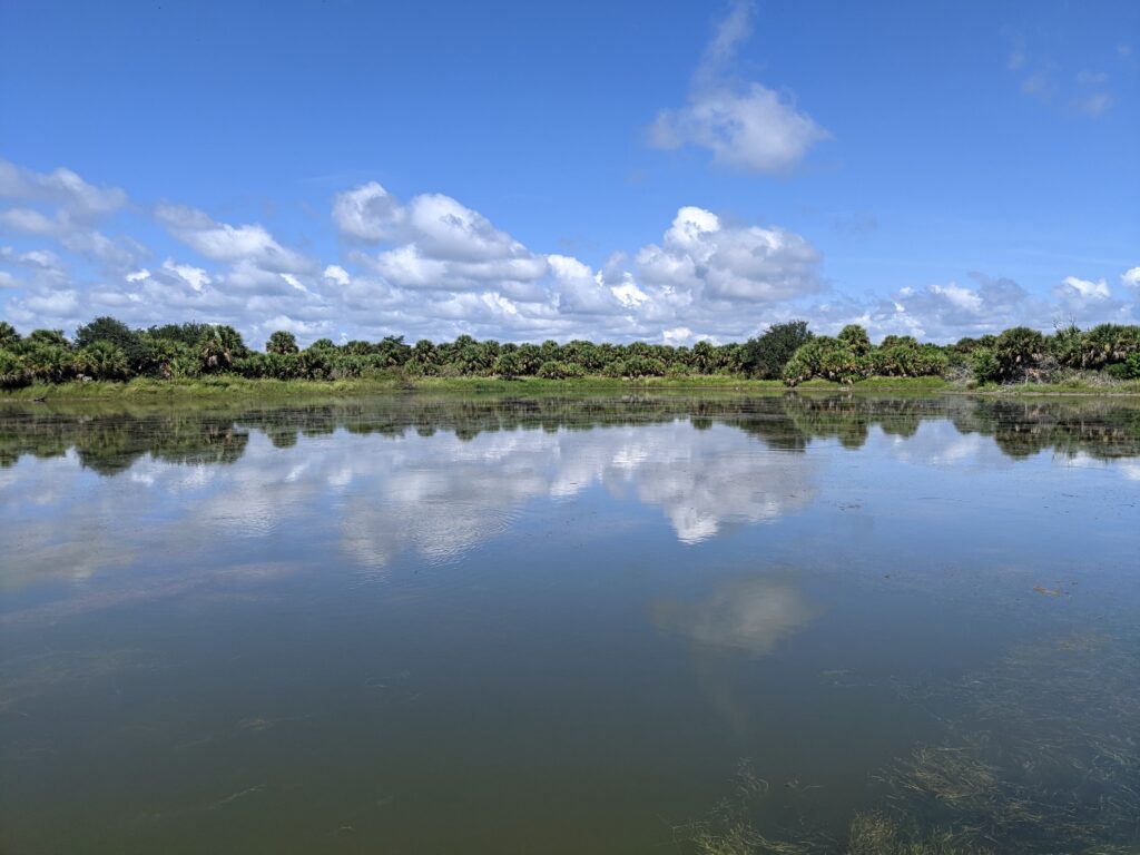
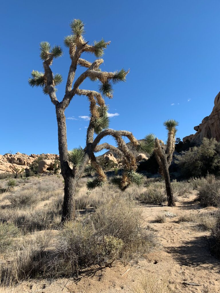
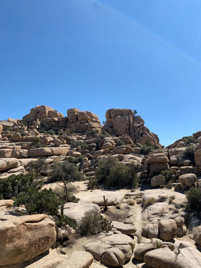
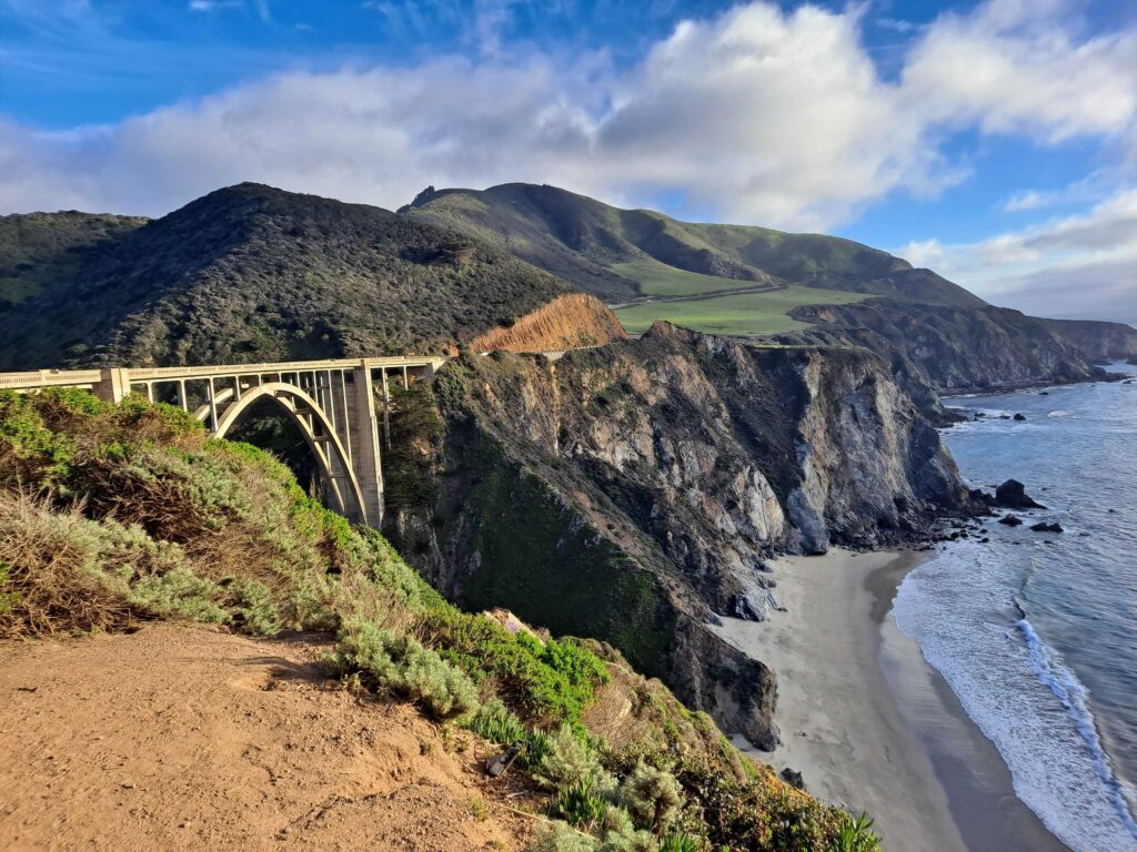
To celebrate this year’s Earth Day, the Watearth team wanted to showcase their love for this amazing planet through their own personal photos. From the Swiss Alps to the deserts of California to the depths below and everywhere in-between, the Watearth team loves to explore Mother Earth.
We are so grateful that every single day, we work towards preserving the beauty of this planet.