Are you passionate about the great outdoors? Do you want infrastructure projects that not only serve communities but also protect and preserve our environment?
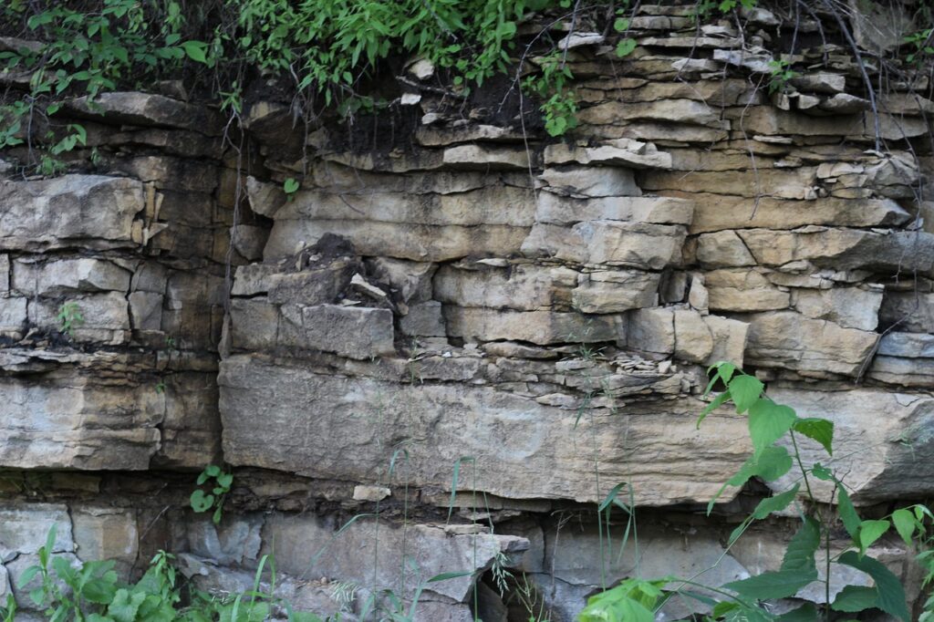
Nature-based solutions (NbS) offer an innovative way to integrate green solutions into gray infrastructure, ensuring our developments support healthier ecosystems. By leveraging natural processes, we can enhance the quality of our air, water, and soil while improving resilience to climate change.
Why Nature-Based Solutions Matter
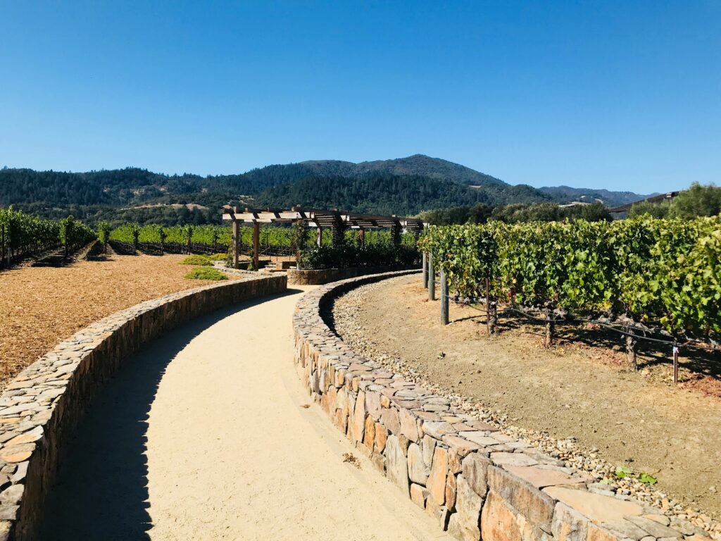
Traditional infrastructure, like roads, bridges, and buildings, often overlooks environmental sustainability. However, NbS provides a smarter approach by incorporating elements like:
🌿 Green roofs to reduce heat and improve air quality
💧 Wetlands restoration to filter water and prevent flooding
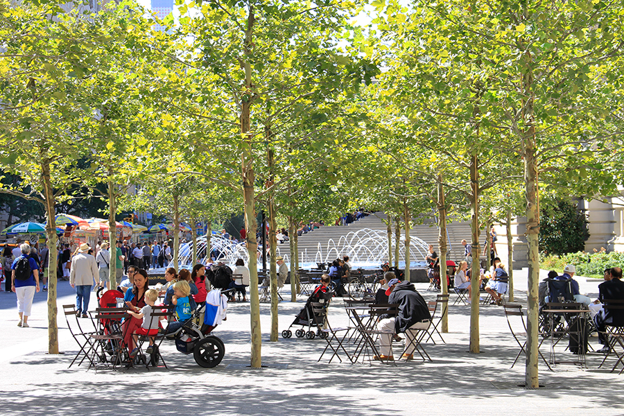
🌳 Urban forests to enhance biodiversity and carbon sequestration
By embracing these solutions, we not only create durable and efficient infrastructure but also contribute to a greener, healthier planet.
Join the Movement
The future of infrastructure isn’t just about concrete and steel—it’s about harmony between nature and development. Whether you’re a city planner, engineer, or environmental enthusiast, embracing NbS can make a lasting impact.
Let’s build with nature, not against it!