Creating an Eco-Friendly Oasis with the Sustainable Sites LEED Credit Category

Before embarking on your project, it’s important to understand the Sustainable Sites credit category within the LEED (Leadership in Energy and Environmental Design) certification. This credit category focuses on promoting environmentally responsible site selection, design, and land use practices. Here’s what you should know before starting your project:

  1. Site selection and planning: The Sustainable Sites credit category encourages thoughtful site selection and planning to minimize the project’s impact on the environment. Consider factors such as ecological sensitivity, land use compatibility, access to public transportation, and proximity to existing infrastructure when choosing your project site.
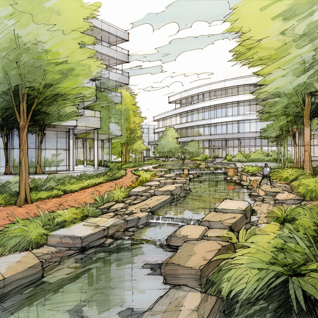
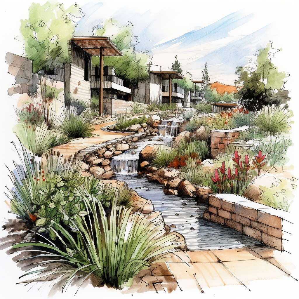
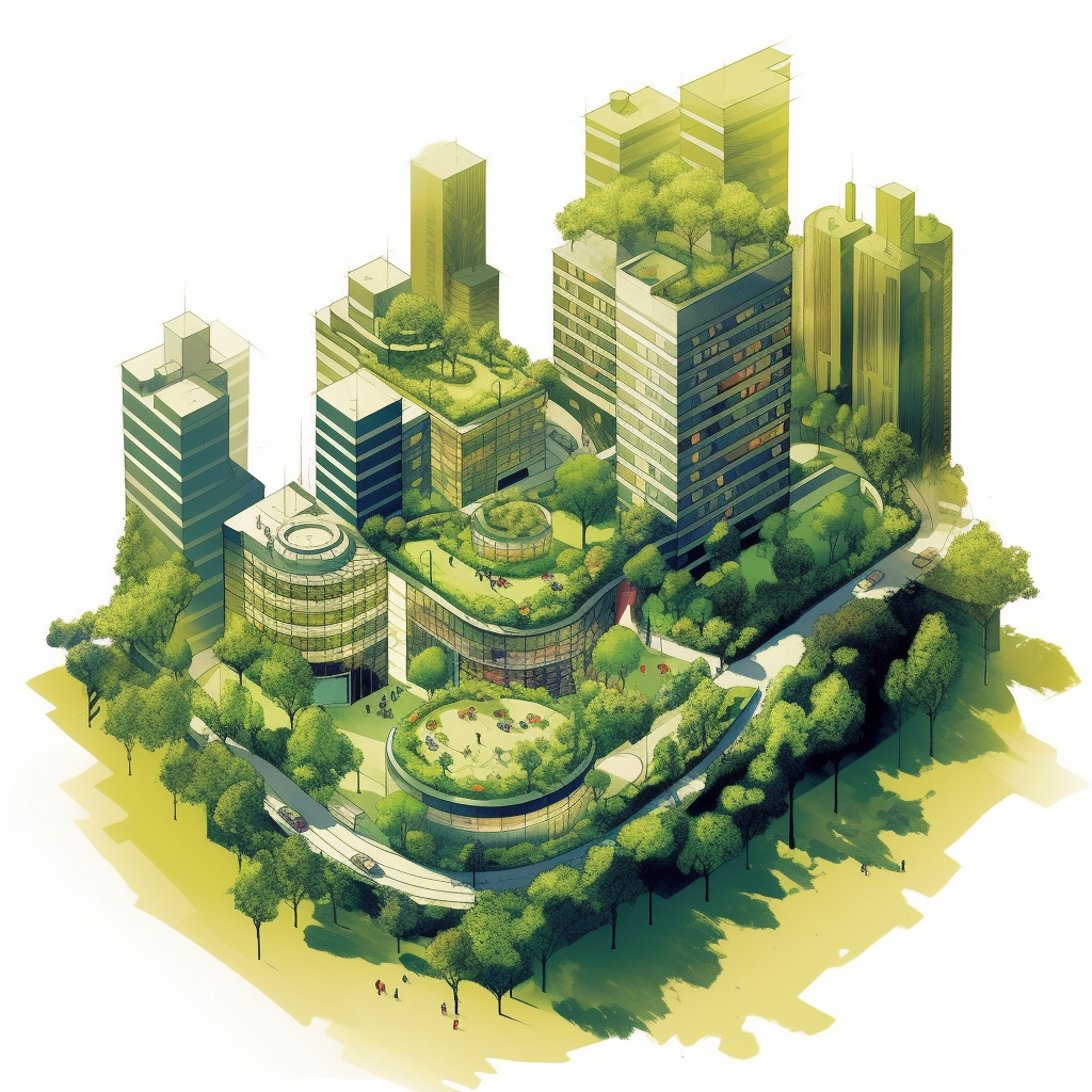
  2. Stormwater management: Effective stormwater management is crucial for achieving points in this credit category. Implement strategies to reduce runoff and enhance water quality, such as using permeable surfaces, rain gardens, bioswales, or green roofs. These measures help prevent erosion, mitigate flooding, and protect natural water resources.
  3. Open space and biodiversity: Incorporating open spaces and preserving or restoring natural habitats on the site can contribute to earning points within this credit category. Designing landscapes that support biodiversity, using native plant species, and creating wildlife habitats help maintain ecological balance and promote a healthy environment.
  4. Reduced heat island effect: Minimizing the heat island effect is another key consideration. Utilize strategies such as reflective roofing materials, light-colored pavement, shade structures, and landscaping techniques to reduce the absorption and re-emission of heat, keeping the site cooler and more comfortable.
  5. Light pollution reduction: The Sustainable Sites credit category encourages minimizing light pollution to protect natural ecosystems and promote better nighttime visibility. Use dark-sky-compliant lighting fixtures, shields, and controls to reduce light trespass and glare, ensuring that lighting is focused on intended areas and doesn’t disrupt the surrounding environment.
  6. Construction activity pollution prevention: Implement measures to minimize pollution during the construction phase. Develop a construction waste management plan, control sedimentation and erosion, and properly store and handle construction materials to prevent pollutants from entering water bodies and harming the environment.
  7. Documentation and reporting: Proper documentation is essential for achieving the Sustainable Sites credit category. Maintain records of site selection criteria, stormwater management strategies, open space and biodiversity initiatives, heat island reduction measures, light pollution reduction strategies, and construction activity pollution prevention efforts. Thorough documentation demonstrates compliance and facilitates the certification process.

Considering the Sustainable Sites credit category early in your project can significantly enhance its environmental performance. By prioritizing sustainable site selection, implementing stormwater management strategies, preserving biodiversity, reducing heat island effects and light pollution, and preventing construction-related pollution, you can create a project that respects the natural surroundings and contributes positively to the environment.

Navigating the Location and Transportation LEED Credit Category

Before commencing your project, it’s crucial to familiarize yourself with the Location and Transportation credit category within the LEED (Leadership in Energy and Environmental Design) certification. This credit category emphasizes sustainable transportation practices and strategic site selection. Here’s what you should know before starting your project:

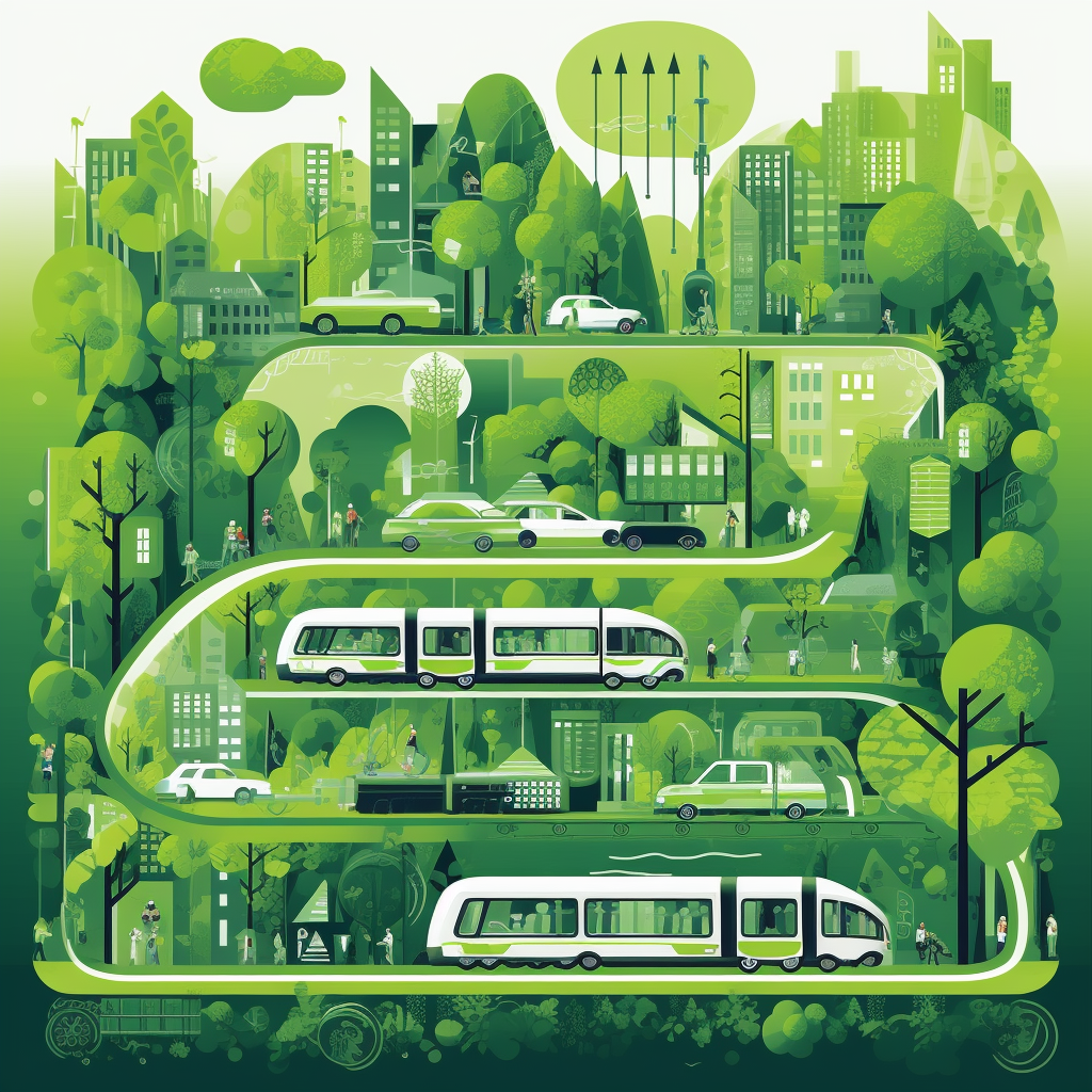
  1. Site selection importance: The Location and Transportation credit category places great emphasis on selecting a site that minimizes environmental impact and promotes sustainable transportation options. Consider factors such as proximity to public transportation, walkability, access to bike lanes, and existing infrastructure that supports sustainable mobility.
  2. Access to amenities and services: This credit category encourages selecting a site that provides convenient access to a wide range of amenities and services. Prioritize locations with nearby amenities such as grocery stores, schools, healthcare facilities, and recreational areas. Having these amenities within walking distance or a short commute can reduce the need for long-distance travel and promote sustainable lifestyles.
  3. Transportation infrastructure assessment: Evaluate the existing transportation infrastructure in and around the project site. Look for opportunities to enhance or connect to public transportation options, such as buses, trains, or light rail systems. Incorporating infrastructure for alternative modes of transportation, like bike lanes, pedestrian paths, and electric vehicle charging stations, can also contribute to meeting the requirements of this credit category.
  4. Parking considerations: The Location and Transportation credit category encourages the promotion of sustainable transportation choices by providing preferential parking for fuel-efficient vehicles, carpools, and bicycles. Consider implementing policies or designating parking spaces to incentivize and support these sustainable modes of transportation.
  5. Transportation demand management (TDM): Implementing effective transportation demand management strategies is crucial for earning points within this credit category. TDM measures can include carpool programs, bike-sharing or bike-to-work initiatives, telecommuting options, and providing information on public transportation schedules and routes. These strategies encourage reduced single-occupancy vehicle use and promote sustainable transportation alternatives.
  6. Documentation and reporting: Proper documentation plays a vital role in achieving the Location and Transportation credit category. Maintain records of site selection factors, transportation infrastructure improvements, available amenities, and transportation demand management efforts. Thorough documentation demonstrates compliance and supports the certification process.

Considering the Location and Transportation credit category during the early stages of your project can contribute to a more sustainable and accessible development. By prioritizing strategic site selection, supporting sustainable transportation options, and implementing transportation demand management strategies, you can minimize environmental impact, enhance community connectivity, and encourage healthier transportation choices.

Remember, collaborating with sustainability professionals, such as Watearth, can provide valuable guidance and expertise to navigate the requirements of the Location and Transportation credit category and maximize sustainable outcomes for your project.

Mastering the Integrative Process LEED Credit for Sustainable Success

Before diving into your project, it’s essential to understand the Integrative Process LEED credit category and its significance in achieving LEED certification. The Integrative Process credit category encourages a collaborative and holistic approach to sustainable design and construction. Here’s what you should know before starting your project:

  1. The goal of the credit: The Integrative Process credit category aims to foster a collaborative environment where project teams, including architects, engineers, contractors, and other stakeholders, work together from the early stages to identify and implement sustainable strategies. The category emphasizes a systems-thinking approach to optimize building performance and reduce environmental impact.
  2. Early engagement is key: To maximize the potential of the Integrative Process credit category , it’s crucial to engage the project team as early as possible. The category encourages involving key stakeholders from various disciplines from the beginning of the project. This allows for the integration of diverse perspectives, expertise, and ideas to identify sustainable strategies that align with project goals.
  3. Establish project goals and performance targets: The Integrative Process credit category requires defining clear project goals and performance targets early on. This helps shape the decision-making process and ensures that sustainable strategies are aligned with the project’s objectives. Establishing performance targets allows the team to prioritize and focus on areas where significant improvements can be achieved.
  4. Foster a collaborative environment: The category emphasizes the importance of fostering collaboration and communication among project team members. Regular meetings and workshops can facilitate knowledge sharing and brainstorming sessions. Encourage open dialogue, active participation, and the exchange of ideas to maximize the effectiveness of the integrative process.
  5. Embrace a systems-thinking approach: The Integrative Process category encourages the consideration of the building as a whole system. Rather than addressing components or systems in isolation, a systems-thinking approach takes into account the interdependencies and interactions among various building elements. This approach can lead to synergistic solutions that optimize performance and reduce resource consumption.
  6. Documentation and reporting: Like other LEED credit categories, proper documentation is essential for maximizing points. Track and record the collaborative activities, decision-making processes, and implementation of sustainable strategies throughout the project. Documenting the integrative efforts helps demonstrate compliance and facilitates the certification process.

The Integrative Process credit category offers an opportunity to enhance the sustainability outcomes of your project. By embracing collaboration, early engagement, and a systems-thinking approach, you can unlock synergies among project team members and optimize the environmental performance of your building.

Remember, consulting with sustainability professionals, such as Watearth, can provide valuable guidance and expertise to ensure the successful implementation of the Integrative Process category and other sustainable strategies throughout your project.

6 LEED Rating Systems Demystified

Navigating the world of LEED (Leadership in Energy and Environmental Design) rating systems can be overwhelming. To make the process easier, here’s a breakdown of the different LEED rating systems available:

  1. LEED for Building Design and Construction (BD+C): This rating system is designed for new construction or major renovations. It focuses on sustainable design and construction practices, energy efficiency, water conservation, indoor environmental quality, and material selection.
  2. LEED for Interior Design and Construction (ID+C): If you’re working on interior fit-outs or renovations within existing buildings, the ID+C rating system is relevant. It emphasizes sustainable interior design practices, lighting efficiency, water and resource conservation, indoor air quality, and occupant comfort.
  3. LEED for Operations and Maintenance (O+M): The O+M rating system is applicable to existing buildings and addresses their ongoing operations and maintenance practices. It covers optimizing energy and water usage, improving waste management, enhancing indoor air quality, and implementing sustainable maintenance practices.
  4. LEED for Neighborhood Development (ND): ND focuses on sustainable community planning and development. It encourages smart growth, compact and walkable neighborhoods, access to transportation options, and the integration of green infrastructure.
  5. LEED for Homes: If you’re involved in residential projects, the LEED for Homes rating system is designed for single-family homes, multifamily buildings, and mixed-use developments. It promotes energy-efficient design, water conservation, healthy indoor environments, sustainable material choices, and homeowner education for sustainable living practices.
  6. LEED Zero: LEED Zero recognizes buildings or projects that have achieved net-zero energy, water, waste, or carbon emissions. It provides a platform for showcasing exceptional performance in any of these categories.

Understanding the different LEED rating systems is crucial in tailoring your sustainability efforts to the specific needs of your project. By aligning your goals with the appropriate rating system, you can effectively address key sustainability areas and work towards achieving LEED certification.

Remember, each rating system has its own set of prerequisites, credit categories, and certification levels. Collaborating with sustainability professionals can provide invaluable guidance throughout the process, ensuring that you meet the requirements and maximize your sustainability outcomes.

Whether you’re embarking on new construction, interior renovations, or maintaining an existing building, integrating sustainable practices through LEED certification is a significant step towards reducing environmental impact and improving building performance.

Unlocking Sustainability: Quick and Critical Tips for LEED Certifications

As a sustainable engineering and environmental consulting firm, Watearth has been helping clients achieve their sustainability goals for years, including on LEED projects.

LEED certifications are a vital way for businesses and organizations to demonstrate their commitment to sustainability and reduce their environmental impact. We understand the importance of achieving a LEED certification and the benefits it can bring, including reduced operating costs, increased property value, and improved indoor air quality.

If you are developing a LEED project, consider the following critical tips:

  • Start planning early: The earlier you begin planning your LEED certification project, the easier and more successful it will be. It allows you to identify potential roadblocks and make adjustments before they become major issues.
  • Involve all stakeholders: Involving all stakeholders in the project, including building owners, architects, engineers, and occupants, can lead to a more successful LEED certification. Everyone’s input can help identify opportunities for sustainable practices and ensure that everyone is on board with the project’s goals.
  • Set achievable goals: Setting realistic goals for your LEED certification project can help you stay on track and achieve success. Consider your budget, timeline, and available resources when setting goals.
  • Consider life-cycle costs: While sustainable building practices may require a larger initial investment, they can result in significant long-term cost savings. Consider the life-cycle costs of materials and systems when planning your LEED certification project.
  • Keep documentation organized: LEED certification requires extensive documentation, and keeping it organized can make the certification process smoother and more efficient. Create a system for tracking and storing documentation from the beginning of the project.
  • Partner with experienced professionals: Partnering with an experienced firm, like Watearth, can help make your LEED certification project more successful and easier. Their knowledge and expertise can help guide you through the certification process and identify opportunities for sustainable practices.

At Watearth, we offer a range of sustainability services, including green building certification, energy modeling, and water management. Our team can assist with all aspects of the LEED certification process, from initial planning and design to final certification and ongoing monitoring. We provide guidance on sustainable building practices, such as energy-efficient systems, low-flow water fixtures, and use of sustainable materials. We also assist with documentation and tracking of LEED credits, ensuring that your building earns the maximum number of points possible.

We believe that sustainability is not just a trend, but a necessity in today’s world. We’re dedicated to helping our clients achieve their sustainability goals while also maximizing cost savings and improving building performance. We understand that each client’s needs and goals are unique, and we work closely with them to develop a tailored approach that meets their specific requirements.

Whether you’re looking to achieve a LEED certification, reduce energy costs, or improve your building’s sustainability, Watearth is here to help. Our team of experts has the knowledge and experience to guide you through every step of the process. Contact us today to learn more about our sustainability services and how we can help you achieve your goals.

Plants and Today’s Water

Image via Pexels.

Today, water is scarce, salty, contaminated, polluted, torrential, rising, and perilous.

As a water-minded practice, Watearth looks to a broad scope of techniques to resolve water-related challenges. Plants are an integral element to the nature-based solutions proposed throughout much of our work. The following highlights instances where plants are instrumental to challenges of water supply, water quality, food supply, and natural disasters.
Water Supply
Plants are an integrated part of hydrology and can be a component of water supply conservation. The use of native, drought tolerant plants integrate the benefits of plants without a huge demand on a scarce water supply. Additionally, plants better facilitate infiltration and groundwater recharge as their roots create infiltration channels within the soil called macropores.
Water Quality
Plants can have a positive impact on groundwater and downstream water quality. Plants reduce erosion, a major contributor to water quality pollution. Not only do plants hold soil in place with their roots, but also slow down the speed of rainfall, as foliage and branches intercept rainfall, reducing erosion. The construction of upstream vegetated wetlands and other vegetated best management practices, such as filter strips and bioretention features, protect downstream waterbodies from sediment and nutrient pollution. According to the EPA, phytoremediation, the practice of using plants to reduce contamination, has been an economical and feasible solution to contain and degrade contaminants affecting soils and groundwater at Superfund sites.
Food Supply
With increasing agricultural issues relating to water, plants provide solutions to production of food. In response to excessive flooding impacting rice production in Southeast Asia, scuba rice was hybridized as a flood-tolerant rice crop. In California, many tree crops are grafted onto drought and salt-tolerant rootstocks as today’s farmers face drought and saltwater intrusion into available groundwater.
Natural Disasters
Native plants have evolved to withstand and regenerate form natural disasters. Native plants, in some instances, can even mitigate impacts. For example, mangroves, tropical trees that grow along the water’s edge, reduce wave energy, and protect coastline from flooding and erosion damage. Mangrove forest regeneration is being coordinated around the world as coastlines become more threatened by rising sea level and increasingly severe storm events and hurricanes.

Constructed wetland habitat at the Crosby Arboretum, Picayune, MS

Celebrate Earth Day through the photography of Watearth

To celebrate this year’s Earth Day, the Watearth team wanted to showcase their love for this amazing planet through their own personal photos. From the Swiss Alps to the deserts of California to the depths below and everywhere in-between, the Watearth team loves to explore Mother Earth.

We are so grateful that every single day, we work towards preserving the beauty of this planet.

Jennifer J. Walker featured on Environmental Professionals Radio

In late January of 2022, our principal-in-charge, Jennifer J. Walker, sat down with Environmental Professionals Radio. Walker spoke with podcast host Laura Thorne and discussed small business opportunities, field stories, and vegan eats.

Walker covered her love of water resources from an early age:

 “I think it probably started back with water resources when I was about 11. My parents’ basement flooded repeatedly when it rained, and I was the one tasked with sweeping the water into the drain. And I got tired of doing it. So, I thought ‘let’s figure this out’ and realized that the whole backyard drained into the window well, which basically then just flooded into the basement – so not quite environmental, but I did dig a little swale and reroute the water out to the front yard curb and gutter.”

Walker also touched on what led to the formation of Watearth, Inc, which has now been thriving for more than a decade:

“At the time, I was working purely in hydrology and hydraulics and flood control, which is a great field. I really love it. And I’m passionate about it, but it just didn’t have the breadth that I was looking for, [and I was] wanting to tie back to some of my earlier environmental work and a lot of the sustainability and resiliency that I was doing outside of work. I really wanted to bring that into our practice. I looked at positions that were out there, there wasn’t really anything at the time that was a good fit in terms of where I was in my career and wanting such an integrated approach. And that’s what led me to start Watearth.”

The podcast is 35-minutes long. You can listen to the full show, which covers much more, here:

https://environmentalprofessionalsradio.buzzsprout.com/1534030/9950496

Watearth’s GIS Specialist Explains GIS

This blog was written by guest contributor Jeremy Liby, Watearth’s Geologist/GIS Specialist. Liby is a talented Geologist and GIS Specialist with more than a decade of experience in data collection and analysis, GIS, and producing technical graphics using a variety of tools such as ArcGIS and CAD. In the field, Liby’s experience includes conducting PH I and II Environmental Site Assessments (ESAs), soil sampling, wetland delineations, drilling groundwater wells, groundwater sampling, well development, and field crew/subcontractor project management. Liby supports Watearth projects by interpreting complex field data and translating it into clear and descriptive reports and exhibits that follow Watearth’s documentation process and core values of producing quality deliverables with reliable service to our clients. Utilizing hands-on field experiences combined with an extensive background in spatial analysis and data collection makes Liby a key team member and support resource for Watearth projects.

What is GIS?

A Geographic Information System (GIS) is a powerful and essential tool used in numerous industries, from engineering to urban planning to insurance, and is particularly apt for use with water resources planning, modeling, and design. The purpose of GIS is “to capture, store, manipulate, analyze, manage, and present all types of geographical data.” In other words, GIS is designed to manage spatial data related to locations on earth.

Example of spatial data using GIS.

GIS and Water Resources

Many technical water resources projects benefit from GIS, including environmental, stormwater management, floodplain management, and other significant engineering projects. GIS can be used to complete complex analyses such as calculating hydrologic parameters, drainage area delineation, floodplain mapping, stormwater drainage capacities, determining ideal green infrastructure types based on land use, and many more. In addition to analysis, GIS can also visualize every project component.

GIS for water resources.

GIS and the Environment

An example of an environmental application of GIS is a groundwater monitoring project. GPS coordinates of groundwater monitoring wells at a project site are collected in the field and converted to points added to GIS. GIS then ties data to each of these points. Data examples linked to GIS points include groundwater well depth, groundwater elevation, groundwater contamination type, groundwater contamination levels, and coordinates. Finally, the groundwater flow is visualized using the applied groundwater elevation data by generating water table elevation contours. Additionally, visualization of a contamination plume is created by generating contamination level contours. Combining groundwater elevation and flow direction with contamination plume locations determines the potential future migration of groundwater contamination. Visualization of a contamination plum can aid in determining mitigation measures and the urgency with which these measures need to be treated.

GIS mapping groundwater elevation and flow.

GIS and Stormwater

Another example of beneficial GIS application is determining the deficiencies of a storm drain network. First, field verified and surveyed data of a storm drain network are mapped using GIS. Next, three-dimensional attributes are tied to a storm drainage feature like ground elevation, depth to the storm drain feature (which can be used to calculate the invert elevation), and appropriate sizing of the storm drain feature. These values are used to determine the slope of a storm drainage network and the amount of flow that can move through the storm drain network. With this information and surface topography features, whether engineered or natural, it can be determined how stormwater flows, how much flows into the stormwater drainage network, and which stormwater drainage features are insufficient for various amounts of stormwater. The storm drain network is then visually presented in maps with any deficiencies of the storm drain network.

GIS mapping storm drain network.

GIS and Floodplain Management

A new construction residential development with nearby streams is an excellent example of a floodplain management application where GIS is useful. Publicly available 100-year and 500-year floodplain boundaries from the Federal Emergency Management Agency (FEMA) may show that the building location of new residential properties is in a high-risk flooding zone. The floodplain boundaries are mapped in GIS to visualize these problem areas quickly. Then it is possible to determine how to reduce flood risk, including ways of diverting streams or other storm drain features that can slow flow through the new development. Mitigation measures can be modeled with various storm events to determine new floodplain boundaries that reduce the risk of flooding. The FEMA floodplain boundaries can be altered in GIS to show how the floodplain boundaries have been reduced due to mitigation measures, reducing the risk of flooding in the new residential development project area.

GIS floodplain mapping.

Presenting Data

The common theme in all these GIS applications is that GIS collected and generated is presented visually. Visual representation of project results and the project area components are essential to environmental and technical reporting. High-level professional exhibits are generated using GIS. A vast array of publicly available GIS data and manually generated GIS data can be added and manipulated within a GIS exhibit. For example, digital elevation models (DEMs) can visualize elevation changes, field-collected GPS lines and points can visualize significant project area features, and county-provided environmental spatial data can visualize environmental concerns within and around a project area. Many other data types can be collected and displayed in a GIS exhibit. When displaying GIS data in an exhibit, it is critical to highlight the significant features discussed in a project report. The exhibit should only include data relevant to project needs, and multiple exhibits can be created to display each project phase.

When displaying project features, background imagery is essential. For example, aerial imagery displays data where land usage is essential, topography shows where elevation is important, and street maps illustrate where project location is important. Additionally, appropriately symbolized and color-coded project features ensure that significant features are easily located. Finally, labeled elements allow the reader to find the correct information in the exhibit quickly.

Additionally, the appropriate scale is dependent on the map. If only the project area is important, the project area and its features should be 90% of the map. Depending on the shape of the map, the exhibits are generated with the project area in a landscape view or portrait view. If the surrounding features and the project area are both important, the exhibit is zoomed to a scale that shows the appropriate vicinity around the project area. Finally, a professional exhibit must contain a title, a legend, a scale bar, and a north arrow. These components are critical for the reader to establish spatial and directional orientation and quickly read the information.

GIS outlining topography.

Why I Love GIS

GIS is my passion. My background is originally in Geology, and my first job out of college was at a large engineering firm as an environmental geologist. I have consistently worked in the field conducting geological field surveys, environmental site assessments, groundwater sampling, and soil sampling. The GIS team frequently reached out to me to discuss data that I had collected in the field so it could be presented effectively in professionally generated exhibits. This grabbed my interest, and as someone who collected the data and saw the project sites in the field, I felt that it would be valuable to add GIS to my skillset. During the field offseason, I asked to be involved in GIS tasks as much as possible, and my passion for GIS took off from there. I went back to school for my GIS certificate and switched to be a full-time GIS analyst. Now that I am at Watearth, I am able to use my past environmental geology and GIS experiences. I am involved in a diverse set of environmental, stormwater management, floodplain management, and green infrastructure development projects. I am very interested in how field-collected data, researched data, and data manipulation all go hand in hand, and how this data provides the basis for every project and any solutions that may come out of it.  

The Build Back Better Act and the Infrastructure Investment and Jobs Act: What this means for water

In November of 2021, the Build Back Better Act, alongside the Infrastructure Investment and Jobs Act, was enacted by the 117th United States Congress, then signed into law by President Joe Biden on November 15 and November 19, 2021.

Of the $550 billion in new spending from the Infrastructure Investment and Jobs Act, Congress allocated $55 billion to drinking water, wastewater, and stormwater infrastructure funding. Each allotted area receives a variety of funding. For example, for stormwater, the Environmental Protection Agency (EPA) Sewer Overflow and Stormwater Reuse Municipal Grant Program will receive $1.4 billion over five years. The EPA will also receive $5 million each year to complete the Clean Watershed Needs Survey every other year and $50 million for stormwater infrastructure grants. In addition, the Stormwater Infrastructure Technology Program will also receive $25 million to create five Stormwater Centers for Excellence.

The Infrastructure Investment and Jobs Act will also improve drinking water infrastructure. For example, the Drinking Water State Revolving Fund will receive $4 billion in grants to address per-and polyfluoroalkyl substances (PFAS) in drinking water. Another $15 billion will go to the Drinking Water SRF for lead service line replacement. In addition, the Alternative Source Water Pilot Program will receive $125 million over five years.

Clean water will also receive money, with $11.7 billion going to the Clean Water State Revolving Fund over five years – the same given to the Drinking Water State Revolving Fund. The Wastewater Energy Efficiency Grant Pilot Program will receive $100 million over the next five years, and $1 billion will be used to address contaminants issues via the Clean Water State Revolving Fund. Over five years, an additional $150 million will be distributed to help low-income homeowners construct septic tanks and repair failing ones.

Image via Pexels

The Army Corps of Engineers will receive $75 million for projects to maintain, upgrade, and repair dams needing safety enhancements. The Army Corps will also receive $465 million for their Continuing Authorities Program. The program allows the Corps to plan, design, and implement less complex and less costly water resources projects.

The Infrastructure Investment and Jobs Act also authorized new EPA programs, focusing on climate resilience for drinking water systems and the water ratepayer assistance pilot program for low-income households.

Clean energy components, including waterpower, play a significant role in Build Back Better. Hydropower and other renewable energy such as wind and solar are valued, and by 2031, $1.876 billion will be allocated to hydropower in the United States.

In addition to hydropower, Build Back Better provides $9 billion through 2026 for grants to lead remediation, filtration devices, and new water fountains.

Marine ecosystems are also receiving attention with this bill, with the National Oceanic and Atmospheric Administration receiving $6 billion to conserve coastal and marine habitats. 

Other areas supporting these bills are the Great Lakes Restoration Initiative, tribal wastewater grants, stormwater reuse grants, and workforce and technical assistance development grants for small, rural, tribal, and disadvantaged communities.

The money from the infrastructure bill is primarily distributed at a state level. California, Texas, and New York will receive the most funding, followed by Florida, Illinois, and Pennsylvania. The states themselves have the discretion to allot the money as they see fit. The state governments will choose which communities receive money, the amount of money, and prioritize projects.

A large portion of the money will be given to federal organizations such as the Department of Transportation, the Department of Commerce, and the Environmental Protection Agency, to further distribute at the state level as loans and grants.

The Build Back Better Act is a small step towards comprehensively improving the country’s aging infrastructure. However, more action is needed. Tom Smith, the executive director of the American Society of Civil Engineers, in a 2019 NPR interview, stated repairing America’s highways and bridges could cost $836 billion. Upgrading wastewater and water infrastructure would likely need $68 billion annually over the next 10 years. Wastewater systems could cost $271 billion, with dams alone requiring $64 billion.

The Build Back Better Act allocates funds to greatly needed projects; however, the price tag remains significant for improving the state of America’s infrastructure.