
At first glance, erosion may appear to be little more than a scar on the landscape. But for engineers and environmental professionals, it often tells an important story about how water moves across the land and how infrastructure responds over time.
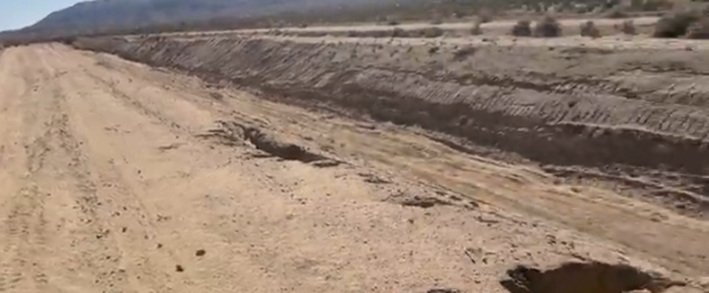
During a walk through what appears to be a maintained flood control channel, one unexpected feature stood out: a surprisingly deep erosion channel cutting into the side slope. It served as a reminder that even well-maintained systems require continual observation and adaptation as landscapes evolve.
Join Jennifer as we explore a maintained flood control channel and examines a striking example of erosion, highlighting what these features can reveal about drainage patterns and long-term infrastructure performance.
Reading the Landscape
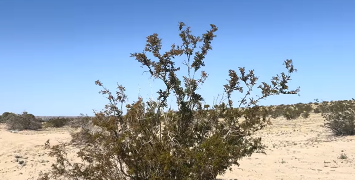
Flood control channels are designed to safely convey stormwater during runoff events while protecting nearby communities and infrastructure. Although many begin as natural washes, they are often modified and maintained to improve their hydraulic performance and reduce flood risk.
Walking through these channels provides an opportunity to observe how water interacts with the landscape long after a storm has passed. Features such as vegetation, sediment deposits, and erosion patterns often reveal how the system is functioning in ways that aren’t immediately obvious from maps or design plans.
When Small Drainage Areas Create Big Problems
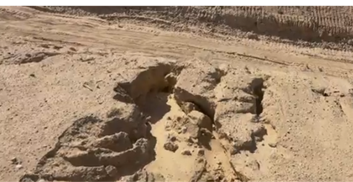
One of the most interesting aspects of this observation is that the erosion appears significant even though there is no obvious large upstream drainage path feeding directly into it.
This suggests that relatively concentrated runoff, perhaps from a nearby roadway or localized drainage feature, may have repeatedly discharged onto the slope over time. When runoff becomes concentrated instead of dispersed, even modest flows can begin to wear away soil if the slope is not adequately protected or if the soils are particularly susceptible to erosion.
Field observations like this remind us that erosion is often the result of repeated processes rather than a single storm event.
Why Slope Stability Matters
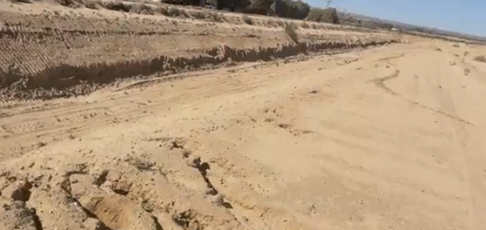
The depth of the erosion makes the scale of the issue immediately apparent. What might seem like a small drainage pathway from a distance becomes much more significant when viewed up close.
Slope stability plays an important role in the long-term performance of drainage infrastructure. As erosion progresses, it can undermine vegetation, affect maintenance access, and eventually threaten nearby infrastructure if left unaddressed.
Understanding why erosion occurs is the first step toward selecting appropriate stabilization measures that work with the site’s hydrology, soils, and surrounding landscape.
Observation Is Part of Good Engineering
One of the most valuable aspects of visiting sites in the field is the opportunity to observe conditions that may not be apparent through drawings, aerial imagery, or computer models alone.
Simple questions, Why did erosion occur here? Where is the water coming from? How does runoff reach this location? often lead to a better understanding of how infrastructure performs over time.
These observations help engineers and environmental professionals make more informed decisions about maintenance, rehabilitation, and future planning.
Learn more about Watearth at our homepage.